

You’ve planned a visit, and now you’re looking for awesome hikes in Kennebunkport.
Yes, there are delightful restaurants – great decks from which to enjoy an afternoon beverage – and shopping options galore.
How about getting out and going for a walk? There are lovely walking options close to Dock Square in Kennebunkport – all close enough to ride your bike too if you choose to make more of an adventure out of it.
St. Anthony’s Franciscan Monastery
The trails of this 66-acre estate are open to the public and afford incredible vantage points of the Kennebunk River as it flows toward the sea. Enjoy the quiet beauty and solitude of the many paths – through manicured gardens, past outdoor shrines and caves, the woods, and the river.
There are great benches to relax on while watching life on the river pass by. The estate grounds were designed by legendary Frederick Law Olmsted Bros, who also designed New York City’s Central Park. Many of the sculptures adorning the grounds were crafted by world-renowned artists and sculptors.
Getting to the Monastery – 0.5 miles from Dock Square – cross over the bridge into Kennebunk. At the light with Route 35, make a left onto Beach Avenue. St. Anthony’s is on your left. There is ample parking for bikes or cars.
Bridle Path of Kennebunk
From this starting point, the Bridle Path stretches north towards Kennebunk and south towards the ocean. If you choose the southerly portion, the distance you’ll cover will be pretty short. If you choose to go north, you can walk more than 2 miles before you have to turn back around and retrace towards your vehicle.
In either direction, you will be exploring the land, preserved as part of the Rachel Carson National Wildlife Refuge that lies alongside the Mousam River as it meanders to the sea.
Getting to the Bridle Path – 2.1 miles from Dock Square – cross over the bridge into Kennebunk. At the light, continue straight on Route 9 / Western Avenue.
Continue straight through the light with Sea Road. Follow on another 0.6 miles, and you will see a small pull-off on the right-hand side of the road. If you cross the river, you’ve gone too far! Park off the roadside in the direction of traffic. The path goes in both directions from this point.
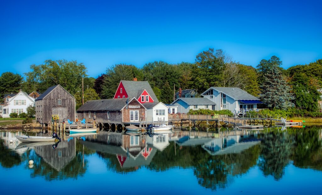
Cape Porpoise Harbor Islands
Plan your visit to the islands with the tide. If you want to get out and back, you can bank on having a solid hour and a half to two hours on either side of the low tide, during which you can explore.
Spend that time exploring the mud flats, bring a book and a water bottle and pull up a sunny rock on Trott Island, or wander the whole way to Stage Harbor and swim.
Please note – even during the lowest of low tides, you will still have to slog through ankle to knee-deep water as you cross the various channels to the islands.
We recommend you wear shoes that will not come off in the mud. These islands are all part of the Kennebunkport Conservation Trust. Please visit their website for guidelines regarding island use – especially if you decide you’d like to make a night of it and set up camp. Don’t forget to check the tide!
Getting to Cape Porpoise Harbor – 3.0 miles from Dock Square – many different routes will take you to Cape Porpoise. For the most direct route from Dock Square, head up Spring Street to the light and make a right onto Route 9. Go one block and make a left, staying on Route 9 / School Street.
In the town of Cape Porpoise, where Route 9 will make a 90° turn to the left, stay straight onto Pier Road. Follow Pier Road out to the end of the peninsula, where you will find a parking lot and restaurant options if you choose to stay for a meal.
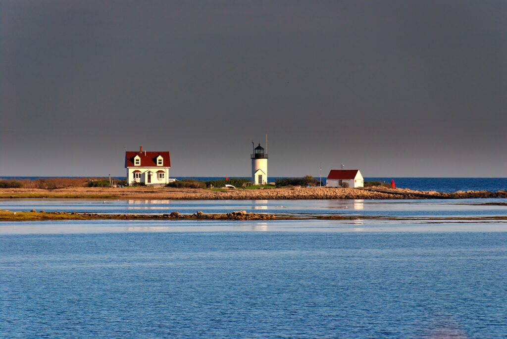
(Source: East Point Sanctuary)
East Point Sanctuary – Biddeford Pool
This entire trail is about 1.4 miles roundtrip and is very easy walking. You’ll be a stone’s throw from Wood Island Lighthouse, and the rocky shore Maine is known for will be right at your feet. Take time to smell the beach roses and the bayberry shrubs.
If the tide is out, explore the plentiful tide pools, keeping in mind that any black rock you put your foot on will be slippery! This is a phenomenal location to watch the moon or sunrise. If you have binoculars, bring them! Please be mindful of the severely eroded embankments and choose options that will not contribute to this issue.
Getting to East Point – 10.4 miles from Dock Square – follow Route 9 out of Kennebunkport. Pass Cape Porpoise and then Goose Rocks Beach. Make a right onto Fortunes Rock Road. Follow it as it makes a 90° turn to the left. Pass Fortunes Rock Beach on your right and continue on.
At the stop with Route 208, continue straight on Mile Stretch Road. Follow as the road turns into Lester B Orcutt Blvd, which leads to the ocean. Park along the right-hand side of the road, facing the ocean and facing traffic. The trailhead is across the street and is marked with a fence and a Maine Audubon sign.
If you have any questions about these walking trails, get in touch.
And while you’re here, please be sure to browse our range of Maine Bicycle Tours.


